
The young man in the Coop supermarket yesterday was either a new kind of tourist, or a new kind of young man, or some prototype of either that I earnestly hope doesn’t move to the production phase.
It was simple, brief, insignificant encounter. Now that I think of it, the moment could have made a moderately useful sketch for first-year acting students.
But we weren’t acting, we (including him) were just living our own banal little lives, stuck in the narrow, crowded aisle amid bottles of olive oil, cans of tuna, and containers of tomatoes in almost every form (the tomatoes, I mean) — tubes of dense concentrate, bottles of thick liquid passata, or puree; cans of tomatoes peeled or pulped. Strange, now that I think of it, that tomato juice was missing.
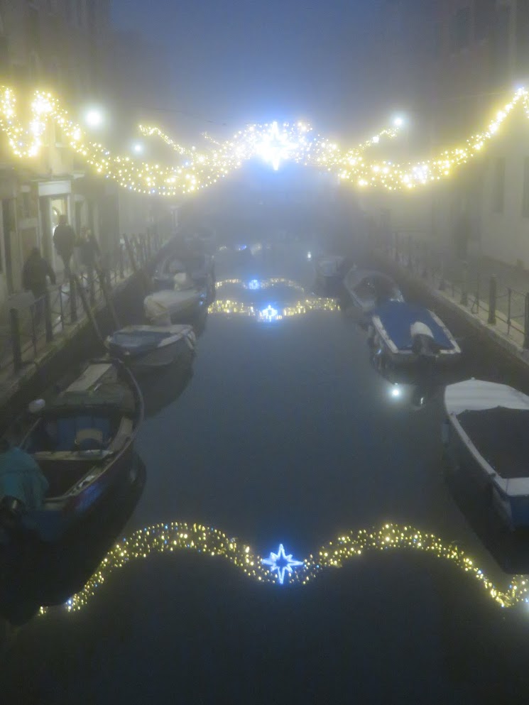
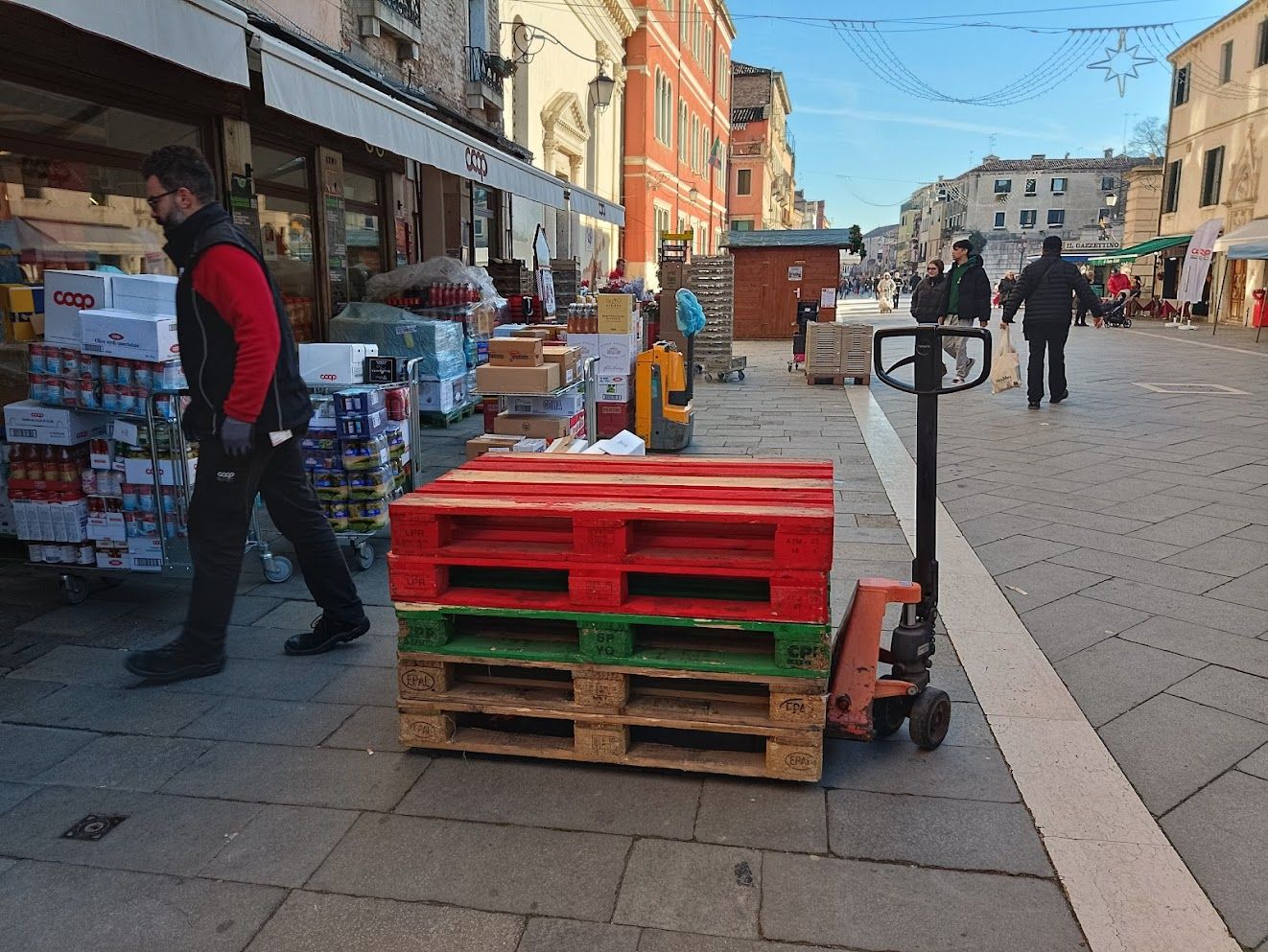
Anyway, it’s always a challenge to shop in peak tourist season, and going late Saturday afternoon is just asking for trouble. Not only does everybody suddenly realize they have to get yogurt or potato chips or a bag of lemons or 8 six-packs of beer or whatever right then, but it being winter, everybody is taking up twice their space thanks to their bulky down jackets. Especially that tall, strapping young man with his back turned to me.
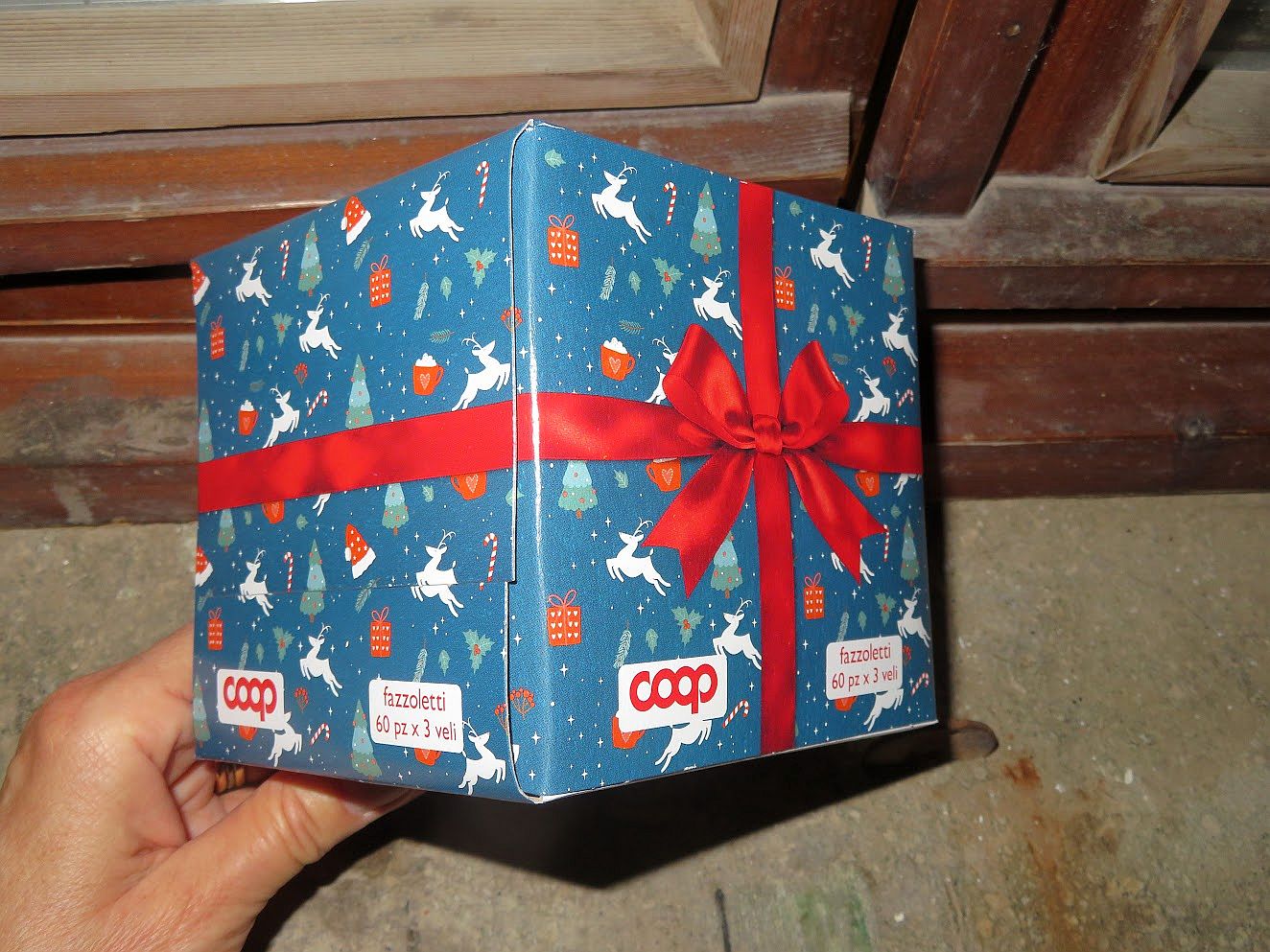
There was only one package left of three small cans of polpa, and it was far back on the top shelf. Bonus points because at that spot there is a small ramp and I was halfway down the incline, so I had no chance of reaching it myself. But I came for the polpa and I intended to get it.
Cue the tall, strapping young man! Destiny calls! You haven’t reached this height and weight just to waste time training for the varsity clean and jerk. Fate has placed you between a high shelf and a small woman and if you mess with fate you’re doomed to live the last act of “The Flying Dutchman” forever. I guess that’s a little redundant.
Did I mention he was German? Nothing against Germans, honestly, but somehow it matters. It went like this:
Me (one tap on very high shoulder).
He turns around. So far, so normal.
“Puoi tirare giu’ quello?” (pointing to distant object).
“I don’t speak Italian.” English, German accent.
“Could you pull that down for me?” In most of the civilized world — I use the term loosely — that’s generally regarded as a rhetorical question. But here I get a sublimely literal answer.
“Why? I don’t work here.” Completely serious. I already knew that he didn’t work here — it’s the “Why?” that haunts me. I will always regret not having thought to say “Neither do I.” Instead I just said “Do me a favor?” I’m so lame.
He reached up and pulled it down. Turned away. Moved on.
I started to laugh, it was so ridiculous. I hope he heard me.
And so now I dream of Germany, where life is beautiful all the time, you obey the law, follow the rules, stay in your lane, where life is constructed entirely of square pegs and round holes which always fit in their correct and corresponding spaces. This young man must feel like he’s come to a madhouse, here in Italy.
Still, he did leave me a present. “Why? I don’t work here” now sits in a very pretty little crystal box in my mind where I can admire it whenever I need a little boost.